safety

Neighborhood · Incorporated city
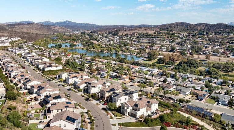
Its own city, "the city in the country," with horse trails, Lake Poway and a strong school district.
Population
Median home value
Aug high / Jan low
To downtown
safety
sports
sports
civic
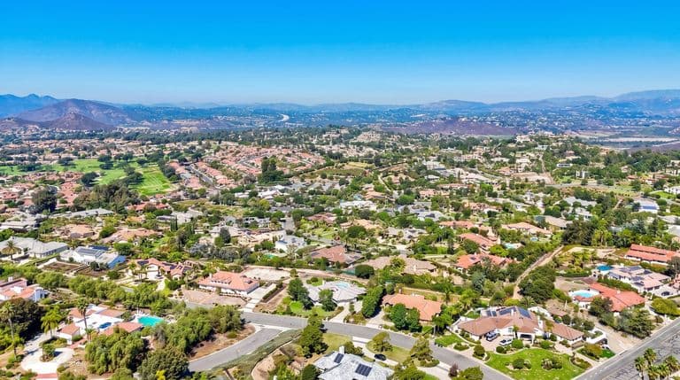
Poway calls itself The City in the Country, and the slogan holds up better than most. The city of about 49,000 people spreads across 39 square miles of valley floor and boulder-strewn hills east of Interstate 15, with horse properties, large lots and open space that begin within a few minutes of its main commercial street, Poway Road. The name likely comes from a Kumeyaay word, often translated as arrowhead or watering hole. Poway grew slowly as a farming valley until the Poway Municipal Water District formed in 1954 and brought reliable water, setting off suburban growth in the 1950s and 1960s. Residents incorporated the city on December 1, 1980, largely to control development. The result is a community that feels distinct from neighboring Rancho Bernardo and Scripps Ranch, even though they share the highly regarded Poway Unified School District. For visitors, Poway is best known for its trails. The Mount Woodson climb from Lake Poway ends at Potato Chip Rock, a thin granite flake that has become one of the most photographed spots in the county, and Iron Mountain and Blue Sky Ecological Reserve are equally popular. Old Poway Park keeps a small-town center with a working railroad and a decades-old burger restaurant. The largest employer is General Atomics Aeronautical Systems, and the city also claims Tony Gwynn, who lived here, and Blink-182, which formed here. Redfin's August 2026 median sale price was about $1.2 million.
Draws
Tradeoffs
Good for: Families and outdoor-minded buyers who want space, trails and strong schools without leaving the San Diego metro.
Poway's inland valley is warmer in summer and cooler on winter nights than the coast, with August afternoons commonly in the upper 80s and low 90s and frost possible in low spots in winter. The marine layer sometimes reaches the valley on late-spring mornings but burns off quickly. Fall Santa Ana winds are the main hazard, and Redfin rates nearly all Poway properties at some wildfire risk; the 2007 Witch Creek Fire burned homes in the city.
Aug avg high
Jan avg low
Annual rain
Best time to visit: October through April; hike Mount Woodson and Iron Mountain early in the morning, and avoid midday summer heat on exposed trails.
Typical home value $1,200,000 (-2.6% year over year)
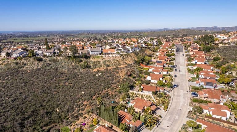
Mostly single-family homes, from 1960s-70s ranch houses on the valley floor to large estates and horse properties on acre-plus lots in the hills, with some condos and mobile home parks along Poway Road.
Freeways: I-15, SR-67
Transit: Limited MTS bus service on Poway Road; MTS Rapid service on I-15 is reachable at the nearby Sabre Springs/Peñasquitos Transit Station.
Parking: Easy almost everywhere except Lake Poway and Iron Mountain trailheads on weekend mornings, which fill early.
Walkability: Car-dependent; most residents drive to Poway Road for errands.
Poway is consistently popular with families for its Poway Unified schools, large lots and trails, and its 2023 median household income of $143,825 reflects an affluent community. Tradeoffs include wildfire risk, summer heat and a car-dependent layout.
Redfin reported a median sale price of about $1.2 million in August 2026, down 2.6 percent year over year. Hillside estates and horse properties sell well above that.
Warm, dry summers and mild winters. The closest NOAA 1991-2020 normals station, Escondido No. 2, shows August highs around 89°F, January lows around 45°F and 14.52 inches of rain a year.
Potato Chip Rock on Mount Woodson, Lake Poway and Iron Mountain, the City in the Country motto, Poway Unified schools and General Atomics. It is also where Blink-182 formed and where Tony Gwynn lived.
The Mount Woodson route from Lake Poway is strenuous, with a long, steep, exposed climb. Start early, bring plenty of water and avoid hot afternoons on the exposed trail.