
safety
Showers and possible thunderstorms Monday night, then a stronger storm Thursday
The weather service expects a cool, dry midweek before a system it says will likely bring more rain and stronger winds than Monday's, with about half an inch possible around San Diego.

Scattered showers return to San Diego County on Monday, Nov. 16, and are expected to be heaviest Monday night, with a slight chance of thunderstorms, the National Weather Service said. Amounts should range from about a tenth of an inch to 0.7 inch in the wettest mountain spots. Gusts of 25 to 40 mph are expected in the mountains and deserts Monday night into Tuesday, with stronger gusts through the passes.
Tuesday and Wednesday look dry but cool, with highs 2 to 12 degrees below normal: in the 60s at the coast and the 40s and 50s in the mountains.
A stronger system arrives Thursday, Nov. 19, into early Friday. Forecasters say they are fairly certain it will bring more rain and stronger winds than Monday's showers. Their early estimate is about half an inch around San Diego, with isolated gusts over 60 mph in wind-prone areas and snow above about 6,500 feet. City News Service reported that localized flooding is possible. The weather service says the storm's track is still uncertain.
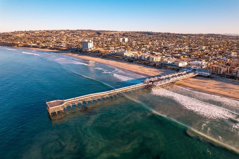
The ocean stays rough. A small craft advisory runs from 4 p.m. Monday to 4 a.m. Wednesday, and another swell Thursday afternoon is likely to keep surf hazardous into the weekend.
How this story was made: drafted with AI assistance, then checked line by line against the sources below by a San Diego Insight editor before publishing. Our standards.
Sources
Related


Know something we should look into? Send us a tip.